DENR GEODETIC ENGINEERS ATTEND A 5-DAY TRAINING ON GEOGRAPHIC INFORMATION SYSTEM (2)
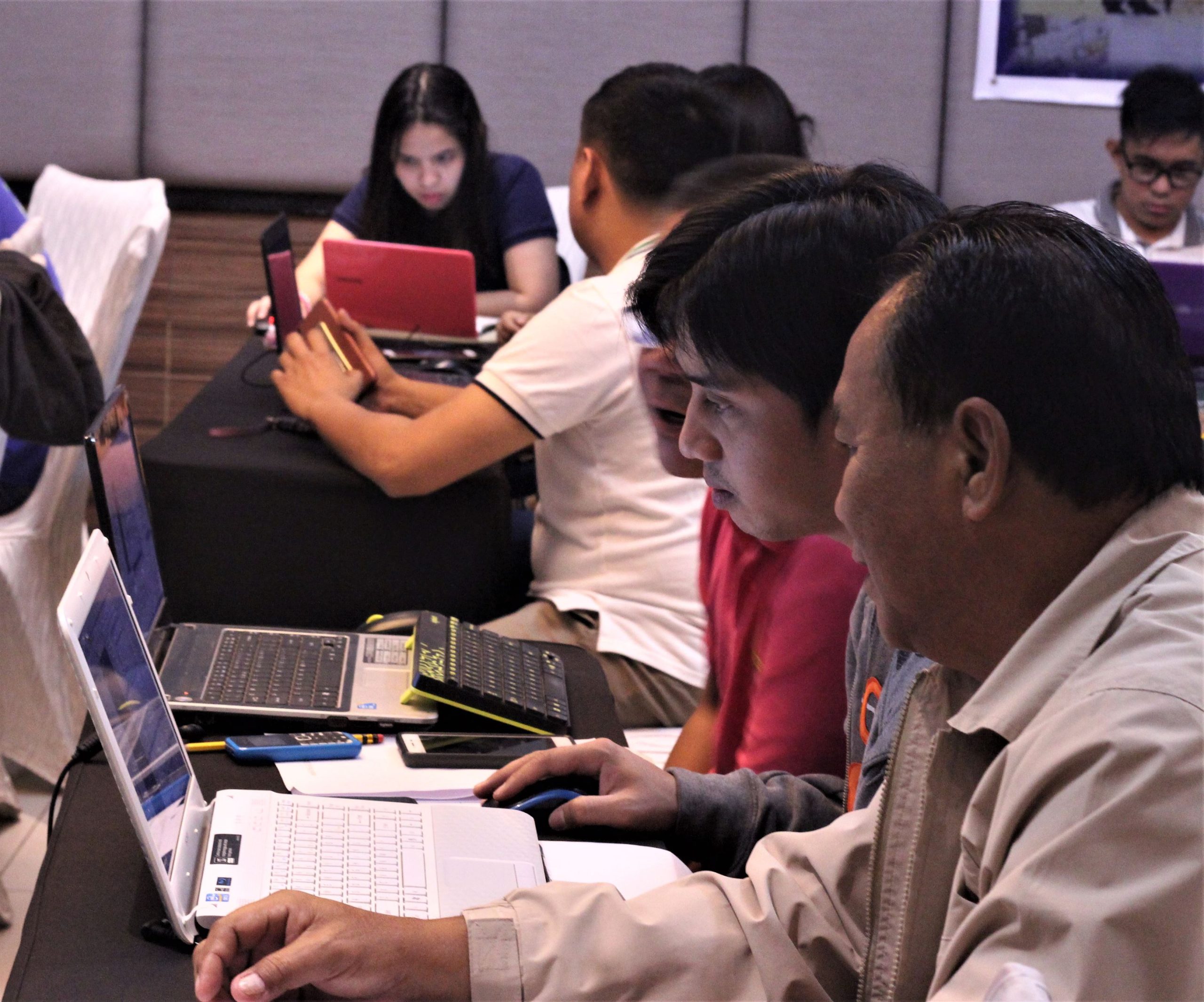
To capacitate and orient some of the Geodetic Engineers and technical personnel of DENR, the Land Management Bureau – Geodetic Surveys Division (GSD) conducted a five-day training on Geographic Information Systesm (GIS) last August 13-17, 2018 at Quezon City. The training was attended by technical personnel from the LMB and chosen DENR Regional Offices – Regions III, NCR, CALABARZON, MIMAROPA, and VII.
“With the expertise of our engineers and some of the technical personnel of DENR, GIS will help us enhance the skills in terms of planning and analysis,” Assistant Director Engr. Romeo P. Verzosa said in his opening remarks.
Moreover, Mr. Alvin F. Laurio from NAMRIA Geomatics Training Center (NGTC) introduced the Quantum GIS (QGIS) software and the graphic interface of the platform. Other concepts that were discussed are software components and functionalities, interface customization, data creation, georeferencing /image restoration using ground control points (GCP), and map-making. Also, Engr. Jesse L. Junco also briefed the participants regarding the Basic Map concepts and Cartography.
Furthermore, participants applied their learnings through a hands-on activity. Before concluding the training, participants shared their insights and reiterated the importance of the use of QGIS as a support tool in the Survey Records Reconstruction Activity and in regular mapping activities of their respective offices.
In his closing remarks, Engr. Ariel F. Reyes, Section Chief, GSD emphasized that in the age of information, the textual information attached to the land records should be stored in a database together with its complementary geometric spatial data to be able to perform faster and efficient data manipulation as support to the achievement of our mandates as a government office in terms of land administration and management and as the policy-making body for the land sector in the DENR.