GSD CONDUCTS 3-DAY ASSESSMENT ON PRS’92 AND CADASTRAL SURVEY PROGRAM OF THE DENR
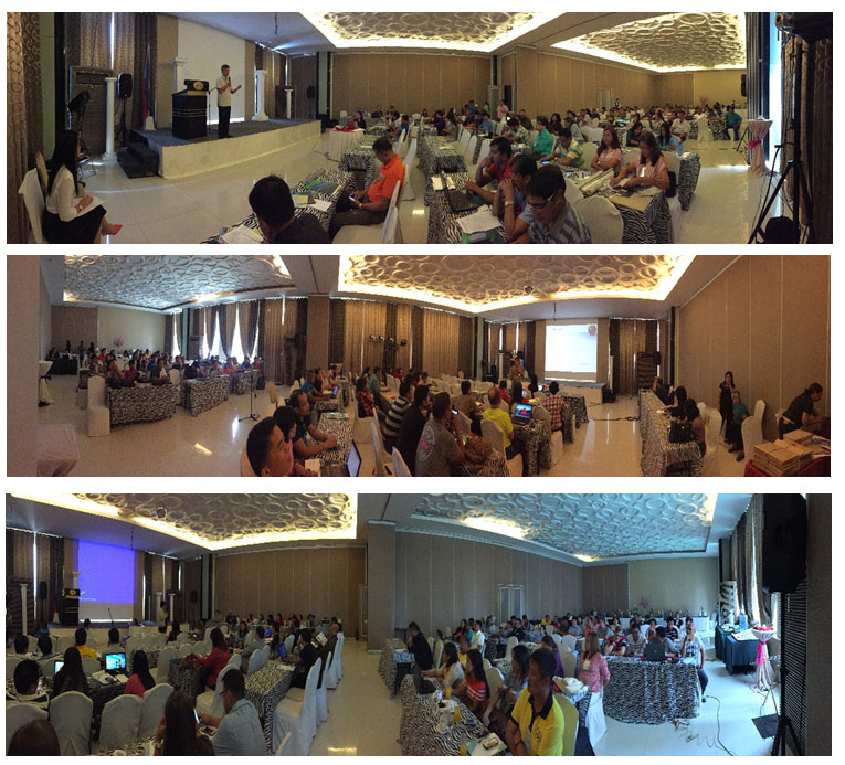
The Land Management Bureau (LMB) through the Geodetic Surveys Division (GSD), pursuant to DENR S.O. No. 2016-504 dated August 24, 2016, conducted a three-day Assessment cum Training-Workshop on the Transformation and Integration of Old Cadastral Surveys into PRS’92 and Evaluation of Approved Political Boundary Map and Regional Base Map, held at City State Tower Hotel, Ermita, Manila last September 6 to 8, 2016. It was participated by all Regional Chiefs, Surveys and Mapping Division, PRS’92 Project Heads and Staff, DENR-ARMM Staff, the DENR Central Office, and LMB Officials and Staff.
Engr. Henry P. Pacis, OIC-Assistant Director, delivered the Opening Remarks. He said that the Land Sector have gone a long way and achieved so much, that these achievements were possible due to everyone’s cooperation. He also stressed out that computerization of data are about to start, that the 3-D Cadastre will soon be accomplished, and that the Land Administration and Management System (LAMS) will allow the public to have access to data such as cadastral maps, approved land survey plans, public land application and titles among others.
After the presentation of the Overview and Rationale of the assessment/workshop by Engr. Bienvenido F. Cruz, Chief, GSD, the Regional participants presented the status of PRS’92 transformation activities in their respective Regions. Discussions and clarifications were made between the presentations in regards to the operational, implementation issues and gaps that took place. Regions with remarkable accomplishment in the program also shared their insights and experiences for the other participants to emulate.
During the break-out session on the second day, the Regional physical accomplishments were assessed and evaluated, including the financial disbursement, and to thresh out the issues and concerns regarding the submitted Regional base maps. The PRS’92 group on the other hand, participated in the computation of the four parameters.
Engr. Ronaldo C. Gatchalian, Chief, Geodesy Division, National Mapping and Resource Information Authority (NAMRIA) delivered a lecture on “The Intricacies of PRS’92 Data Integration”, the Actual Computation of Four Parameters, and Processing of GPS Raw Data Using Trimble Business Centre (TBC). Mr. Matthew Cua from Sky Eye UAV Services discussed the Principles in 3-D Cadastre using UAV or Drone Technology. Engr. Warlito G. Quirimit, Chief, ICT Section, presented the Usage of DCDB Validation Tool in the Implementation of Records Reconstruction.
The three-day training/workshop ended with a discussion of issues and concerns together with Engr. Apolinar D. Agustin, Engr. Beato Cefre, Jr. and Engr. Lensy F. Bunuen as reactors for the GSD, and derived various agreements and commitments.