LMB conducts a national orientation on foreshore delineation, inventory, and profiling of improvements along foreshore areas nationwide
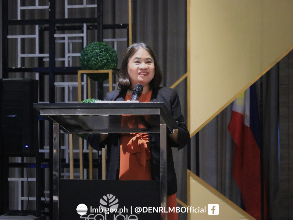
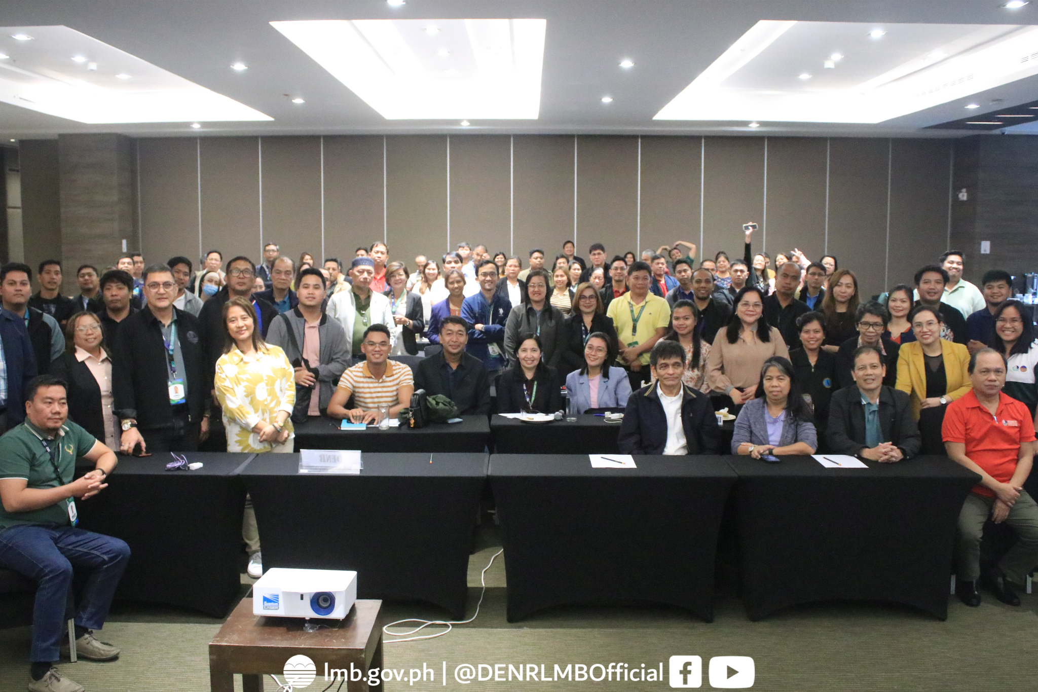
On October 7 to 9, 2024, the Land Management Bureau (LMB) conducted an orientation in Sequoia Hotel, Manila regarding the procedures of foreshore delineation, inventory, and profiling of improvements along foreshore areas nationwide.
This activity is in line with the LMB’s efforts to improve the management on foreshore lands as one of the priority thrusts of the DENR to shift its focus from land administration to land management and governance. Although there are records of foreshore areas acquired years ago, climate change and natural or man-made activities changed foreshore areas through time.
 In his message, DENR Undersecretary for Legal and Administration Atty. Ernesto Adobo emphasized the DENR’s move to encourage investments in land for development. “Reports of illegal occupants and non-payment of the corresponding fees have resulted in loss of government revenues which could have been used to fund further developmental initiatives,” Adobo said. “It is essential to establish an accurate and comprehensive record of all foreshore areas including any improvement thereon. This will be instrumental in enforcing foreshore lease agreements and ensuring environmental protection and the well-being of the coastal community.”
 Likewise, the Assistant Secretary for Inter-Agency Relations and Land Matter, Atty. Michelle Angelica Go, engaged in capacitating DENR Regional/Field Offices personnel in the proper procedures on the conduct of surveying, mapping, and profiling the status along foreshore areas in order to produce a Foreshore Delineation Map.
In collaboration with the National Mapping and Resource Information Authority (NAMRIA), Mr. Dennis Arsenio Bringas discussed the procedures in determining the Mean High Water Line which is essential in setting the boundary of foreshore areas.
For 2024, barangays under the jurisdiction of DENR Regional Offices 1, 3, and 5 were selected for foreshore delineation. They were able to share their strategies or best practices in overcoming the issues and concerns that they encountered during the conduct of foreshore delineation, inventory, and profiling along these areas. Some of their best practices were in close coordination with local government units and other concerned government agencies for community engagement.
 LMB Director Atty. Emelyne Talabis concluded the activity, saying, “We cannot effectively manage what we cannot measure. This activity will allow us to describe the actual status of our lands on the ground, since we cannot effectively manage these foreshore lands that do not anymore reflect the actual situation vis-à-vis our records.” She also urged the Regional Offices to extensively conduct target setting, planning, and monitoring.
This initiative reflects the DENR’s continued efforts to balance environmental conservation with economic growth and community welfare.

