Land Management Bureau conducts workshop on the cascading of the procedures of delimitation of foreshore line and profiling of idle government – owned lands and patrimonial properties
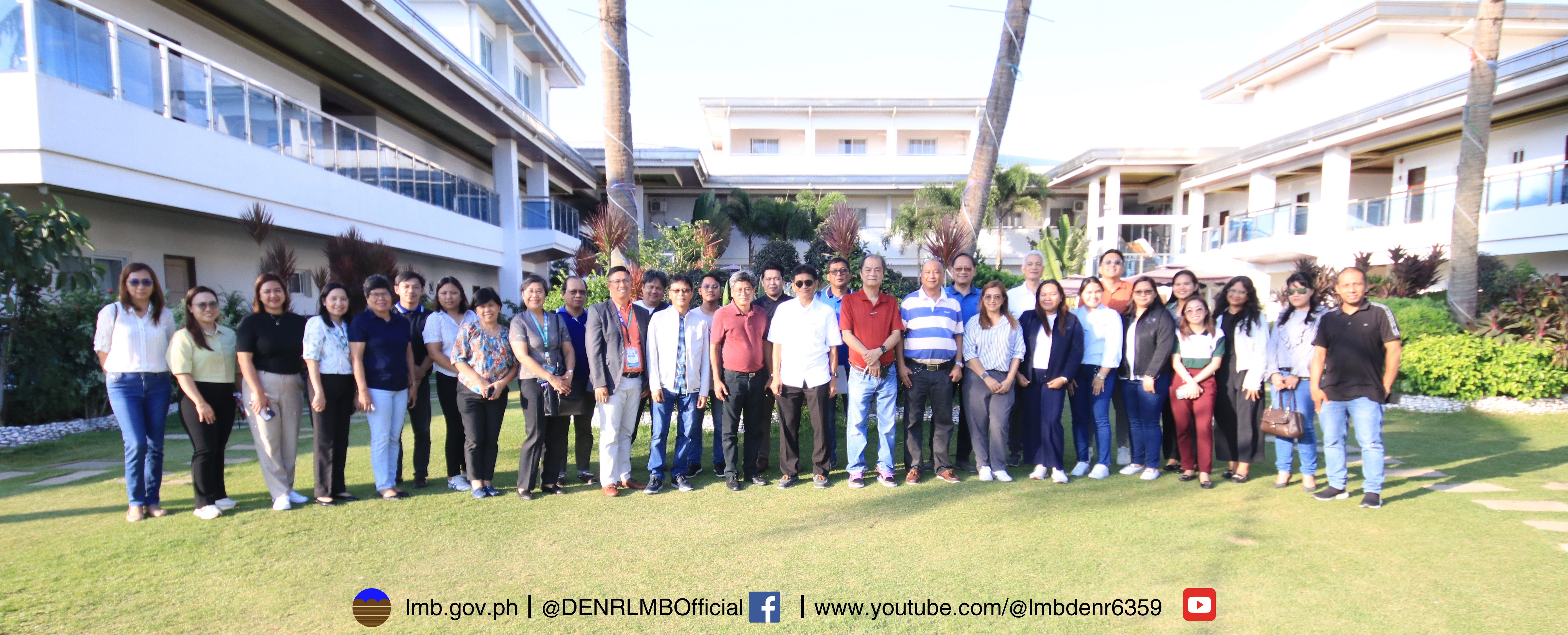
On May 6 to 8, 2024, the Land Management Bureau (LMB) conducts a workshop in Verde Azul, Morong, Bataan to cascade the procedures of delimitation of foreshore line for Regions 1, 3, and 5, as well as to profile idle government-owned lands and patrimonial properties.
These activities are in line with the recent directives from DENR Secretary Maria Antonia Yulo Loyzaga during the FY 2024 National Reprogramming Workshop, requiring the Bureau to administer and manage land resources and develop a comprehensive land administration and management strategy to sustainably manage our land resources in the nation, including the management of public lands nationwide and the improvement of foreshore areas. To properly guide the pilot regions before the implementation, it is deemed necessary to develop the appropriate guidelines and procedures in the conduct of the land sector’s activities, specifically the delimitation of foreshore and inventory and profiling of idle government-owned lands and patrimonial properties.
The LMB conducted a workshop that serves as an avenue to discuss strategies and possible opportunities for the Bureau and the pilot regions on the conduct of the new activities to ensure its seamless execution and implementation.
The delimitation of foreshore line activity aims to come up with a Foreshore Delimitation Map integrating climate change adaptation to the priority provinces that are highly vulnerable to the effects of climate change, to strengthen its resilience and reduction of disaster losses due to floods, storm surges, and other natural hazards. The pilot regions that will conduct this activity for FY 2024 are regions 1, 3 and 5.
 The guidelines of the policy for the delimitation of the foreshore line were reviewed and comments and suggestions from the pilot regions (Regions 1, 3 & 5) were incorporated. Revisions were made to ensure alignment between the workflow and the procedures outlined in the draft guidelines. LMB Assistant Director Romeo Verzosa discussed the agreements made on the presentation of the procedures on the conduct of the Foreshore Delimitation, focusing on incorporating the comments from the participants to finalize the guidelines. He also emphasized the need for a Standard Template for the Foreshore Delimitation Map (FDM) of the regions including its attributes for uniformity and consistency.
In FY 2025, inventory and profiling of idle government-owned lands and patrimonial properties will be implemented and is expected to be completed by FY 2026. The activity aims to rationalize and regulate the use and occupancy of public government lands, particularly patrimonial properties, and idle government-owned lands or those that are no longer actually, directly, and exclusively used for the purpose for which they have been reserved or acquired to achieve economic and social development.
Inventory and profiling of idle government-owned lands and patrimonial properties would enable the creation of a complete list of patrimonial properties and idle government-owned lands that can be used for investment purposes and to meet the requirements of other National Government Agencies (NGA). The presented guidelines are still subject for recalibration depending on the Secretary’s directives pertaining on A.O. No. 21.
 To formally close the event, LMB Director Emelyne Talabis extended her gratitude to the regions for their participation. The director delivered her speech focusing on the importance of the new activities conforming with the directive of the DENR Secretary on the shift from land administration to land management. She also emphasized intensifying monitoring of the two new activities for the following year.