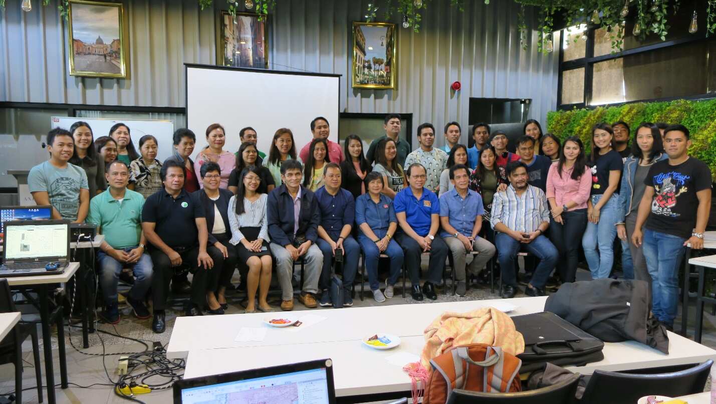
Photo opportunity with the Assistant Director of LMB, Engr. Romeo Verzosa together with the representatives from the different Regional Offices.
The Land Management Bureau through the Geodetic Surveys Division conducted a two-day workshop regarding the finalization of the regional basemap and Land Area Masterlist 2019 last October 10-11, 2019 at Axiaa Hotel, Quezon City. The purpose of the said workshop is to address and finally settle the issues encountered in the evaluation of the Regional Base Maps submitted by the Regional Offices.
In compliance to the Oversight Committee Devolution (OCD) Resolution No. 1 s. 2005 and NEDA Resolution No. 2 s. 2018, the consolidated basemap of the whole country and Land Area Masterlist will be validated by the Technical Working Group (TWG) composed of Department of Interior and Local Government (DILG), National Mapping and Resource Information Authority (NAMRIA), League of Provinces and Leagues of Cities and Municipalities. It was aimed to determine the updated total area of the Philippines for the Land Area Masterlist 2019 which will be submitted to the Hon. DENR Secretary Roy Cimatu for his approval and to be indorsed to the Department of Budget and Management (DBM) which will serve as their basis for the computation of the Internal Revenue Allotment (IRA) share of the Local Government Units (LGUs).
According to the Administrative Order No. 270, “Prescribing the Implementing Rules and Regulations (IRR) of The Local Government Code of 1991 (RA 7160)” in Article 382, the total annual IRA shares due all LGUs is allocated as follows: Population — Fifty percent (50%), Land Area — Twenty-five percent (25%) and Equal Sharing — Twenty-five percent (25%). Under the OCD Resolution No. 1 series of 1999, the Director of the Land Management Bureau (LMB) of the Department of Environment and Natural Resources (DENR) was mandated to submit the land areas of the cities and municipalities every three (3) years to the DBM.
The said workshop was participated by the different Chief of Surveys and Mapping Division (SMD) of the DENR including their GIS expert who was assigned in the preparation of their regional base map.

