LMB, GIZ orient their DENR regional partners on the unified map activity
The Land Management Bureau (LMB), in cooperation with the German Agency for International Cooperation (GIZ), oriented Regions 10, 11 and 13-CARAGA on the unified map activity under the Responsible Land Governance in Mindanao (RLGM) project on June 11, 2022.
Engr. Jewel Lyne Templonuevo of the LMB presented the overview of the activity, while the National Consultant, Engr. Oliver Macapinlac of the University of the Philippines (UP) provided the conceptual framework, and the functions of regional personnel involved.
“It is important to note some of the problems encountered by the Regions,” Macapinlac said. “In order to do that, technical groups between them and the LMB should be formed using communication tools.”
 |
 |
 |
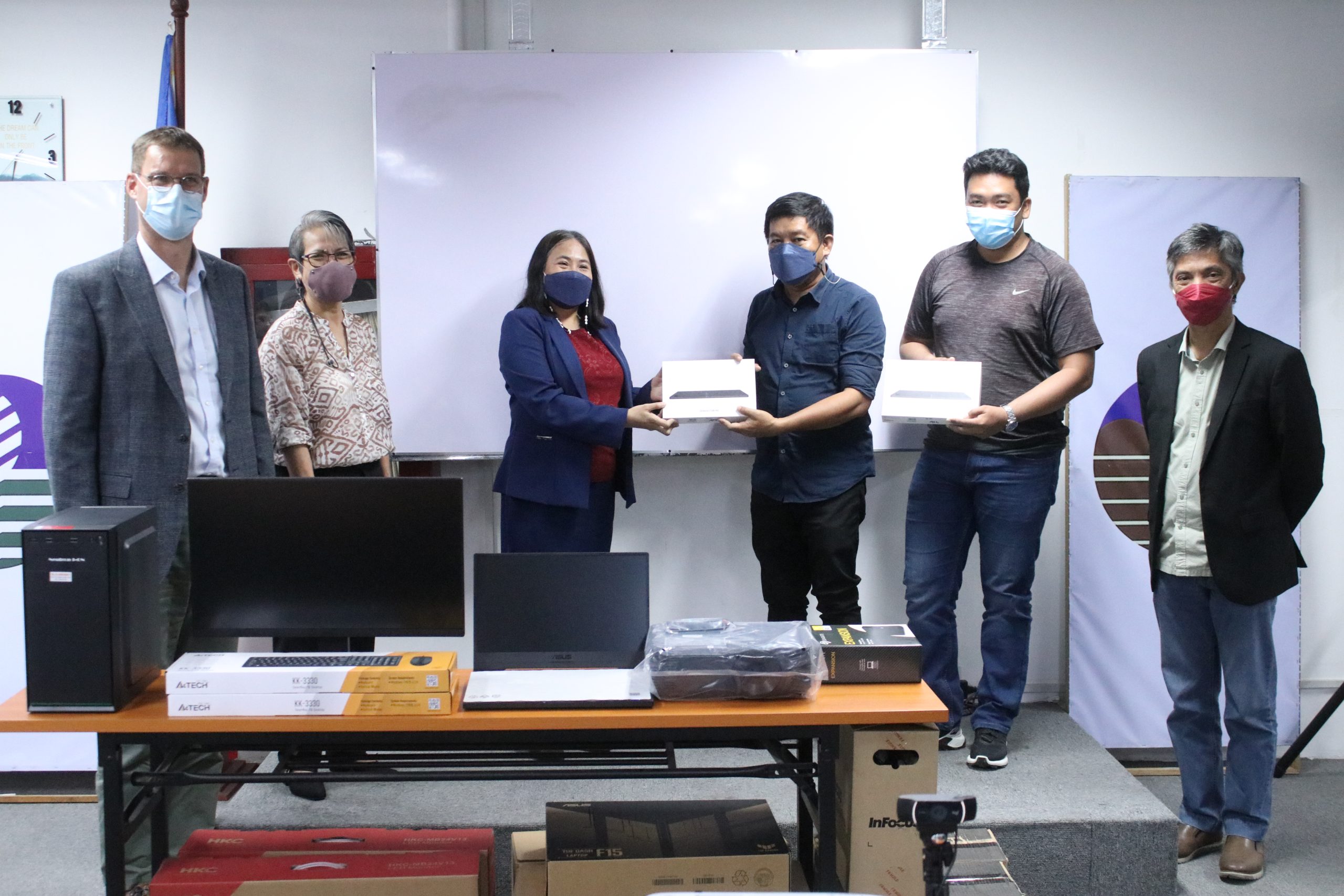
DENR Regional Offices 10, 11 and 13-CARAGA receives equipment from the GIZ and LMB. These will be used for the unified map activity under the RLGM project.
It is also during this venue that equipment were turned over to the Regions. A total of eight (8) hardware were donated to them, including laptops, desktop computers, tablets, projectors, and external hard drives to kickstart the implementation of this activity.
In her keynote message, LMB Director Emelyne Talabis emphasized the importance of data sharing between agencies.
“Land administration in the country is beset by challenges, as titling agencies have their own land information systems. Because of this, agencies tend to look into data that are in their own possession. In the DENR alone, tenure instruments issued by our offices overlap with each other,” Talabis said.
 |
 |
GIZ Country Director Bjoern Surborg and LMB Director Emelyne Talabis deliver their keynote messages.
GIZ Country Director Bjoern Surborg also visited the LMB in this occasion.
“Well-regulated land tenure is important to make investments, social cohesion, and peaceful living,” Surborg said. “The unified map is a big step towards attaining this. With the proper equipment in place, we are now looking into capacity development in how to use GIS systems.”

