The Land Management Bureau deliberates proposed policies on foreshore survey and mapping, land inventory and management
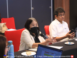
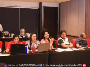
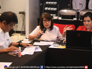
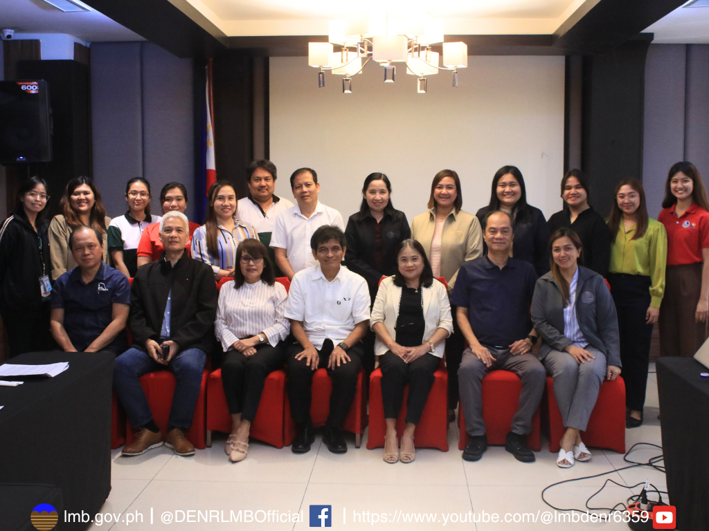
In a bid to strengthen the management of foreshore areas and government-owned lands in the country, improve survey and mapping processes, and safeguard land tenure for its clientele, the Land Management Bureau (LMB) orchestrated a two-day policy deliberation and writeshop from April 16 to 17, 2024, at Brentwood Suites, Quezon City.
The main focus of this activity is the deliberation of proposed policies pertaining to the implementation of foreshore survey and mapping, and the inventory and profiling of idle government lands and patrimonial properties. The purpose of the proposed policy on foreshore survey and mapping is to facilitate the efficient and efficient and effective and sustainable management of coastal resources. On the other hand, conducting an inventory of, and profiling idle government-owned lands and patrimonial properties would help identify lands can be used for investment purposes. Both of these policies mark a step towards streamlining processes and ensuring efficient utilization of, and determining the optimal use of public land resources.


Another focal point of the discussions was the approval of regional standard calibration baselines to be utilized in the certification of survey instruments. Presently, only three established baselines exist nationwide, with the UP Calibration Baseline in Quezon City being used. Recognizing the need for expanded coverage, the LMB, in collaboration with Department of Environment and Natural Resources (DENR) Region 11, the Geodetic Engineers of the Philippines (GEPI), and the City Government of Tagum, inked a Memorandum of Agreement on November 3, 2022, to secure the calibration baseline site in Davao del Norte. The proposed policy seeks to empower the LMB Director with the authority to approve calibration baselines, thereby expediting the process and ensuring uniform standards across regions.
 The revocation, reconstitution, and reissuance of lost or destroyed unregistered patents was also raised during the activity. This proposed policy aims to facilitate the recovery of patents to address the challenges faced by individuals or entities who have lost their land patents that the DENR has transmitted to the Registry of Deeds (RoD), due to unforeseen circumstances such as accidents or natural calamities.
The deliberations underscored the imperative of proactive measures to address the multifaceted challenges surrounding land administration and management. By fostering collaboration among key stakeholders and instituting progressive policies, the LMB endeavors to promote sustainable land use practices, foster economic growth, and safeguard the nation’s invaluable land resources for future generations.

