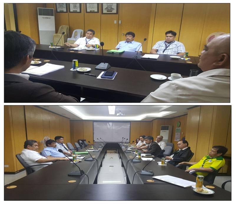
Engr. Henry P. Pacis presided over the meeting regarding the request for copies of geographic positions and plane coordinates of several control points located in different provinces in the country held at the LMB Director’s Conference Room last November 8, 2016. This was attended by representatives from the Land Registration Authority (LRA), Engr. Ante V. Gamiao, Engr. Alexander D. Montemayor and Engr. Ricardo D. Rapiz (LARES). The Bureau was represented by Engr. Bienvenido F. Cruz, Chief, Geodetic Surveys Division (GSD), Engr. Apolinar D. Agustin, Assistant Chief, Engr. Ariel F. Reyes, Engr. Jesse Junco and Engr. Precious Navarro, and Ms. Lovely Presto from LAMS. The issues addressed in the meeting are yet to be resolved, with the conduct of a technical conference on both agencies to come up with a unified projection system.
Latest Post
Most Viewed Posts
- LMB supervises GST for new employees
- The Basic Filipino Sign Language (FSL) Training for LMB’s Front Desk Officers and Officers of the Day
- Land Management Bureau’s Mid-Year Assessment for CY 2024
- Courtesy Call for the partner LGU Barangay Upper Bicutan in Taguig City
- GSD Three-day Training-Workshop on E-Survey and LAMS IVAS